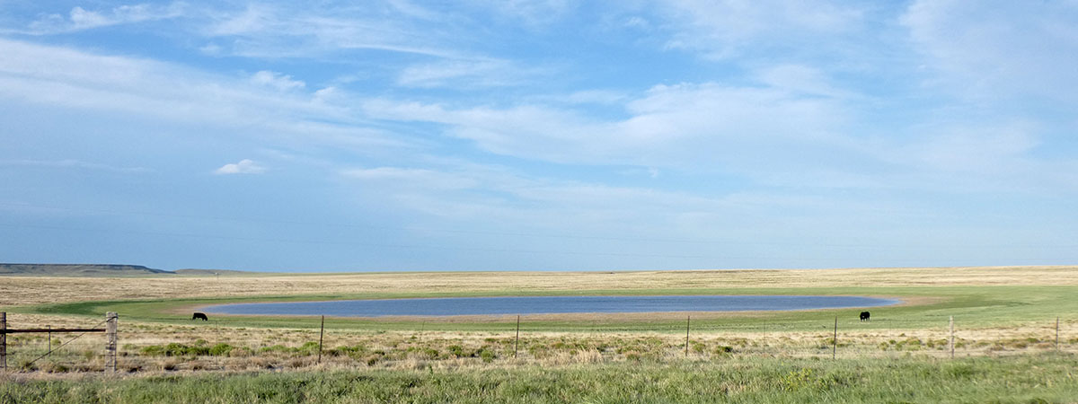
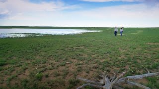
Playas — also called mud holes, buffalo wallows, and lagoons — are round, shallow depressions found at the lowest point of a watershed. Their basins, which are lined with clay soil, collect and hold water from rainfall and runoff, creating temporary wetlands. The water then seeps into the soil and slowly moves toward the aquifer or evaporates.
With more than 80,000 scattered across six states from Nebraska and Colorado south to Texas and New Mexico, playas are the most numerous wetlands in the region and have a critical role in recharging the Ogallala aquifer and providing habitat and food for birds as well as many other wildlife species.
Our interactive Playa Map, embedded below, allows you to explore the playa region and investigate playas, wind farms, and other features of the landscape. To explore all the features, open the Playa Map in a new browser window.
")
What Is a Healthy Playa?
A healthy playa has an intact clay basin — without excavated pits or ditches — that is not buried by sediment from nearby fields. Water from the surrounding watershed freely enters the basin through a native vegetative buffer without being diverted from the playa by roads, terraces or other impediments.
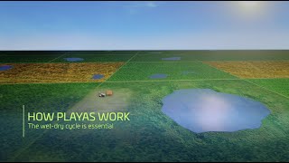
While playas provide critical wetland habitat for wildlife, they also provide important benefits for the people who live in this region. Playas, when healthy, provide a sustainable water source for communities and rain-fed operations, water filtration, flood control, livestock forage, and recreation. See how playas work >>
Biodiversity Hotspots
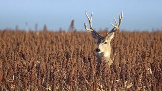
Playas are the center of biodiversity on the plains — supporting 185 bird species, 450 plant species, 13 amphibian species, and 37 mammal species at some point in their life-cycle. In this dry landscape, playas are the main source of water for migrating waterfowl and shorebirds as well as resident prairie birds.
Aquifer Recharge
Playas are a primary source of groundwater recharge, contributing up to 95 percent of water flowing to the aquifer. Recharge rates in playas are 10 to 1,000 times higher than under other areas. The average rate across the region is about three inches per year — that’s three inches of water the size of the playa moving toward the aquifer each year. Since this is a continuous process, the water recharging through playas today will be available for use by the next generation. Read what the scientists say about recharge >>
Water Filtration
Water reaching the aquifer through playas is of higher quality than that going through other pathways. Healthy playas are water filtration systems, reducing contaminants reaching the groundwater. This happens in two ways: first, as rainfall and runoff flow through the vegetation surrounding the playa, sediments which can carry contaminants are trapped and stopped from entering the playa; then, as the water moves through the clay floor of the playa, the soils beneath the playa remove nitrates and other dissolved contaminants.
Flood Water Storage
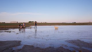
Since playas are found in the lowest points on the landscape, they can provide flood water storage and prevent property damage. Healthy playas with intact basins are the primary sites where water collects during rainstorms, reducing damage to crops, roads, and property as well as reducing erosion.
Livestock Forage
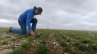
Grazing has always been an important component of the prairie landscape, and it can be used to manage the vegetation in playa buffers and basins. This can provide additional forage for livestock, especially during drought when the only moisture supporting plant life is often found within a playa, as well as better wildlife habitat.
Recreation and Education
Wet playas attract thousands of ducks, geese and a variety of shorebirds during migrations, providing local hunting and birdwatching opportunities. Also, playas are a living laboratory where students can learn about wetlands, geology and the history of the region.
Quick Facts About Playas

- Small, temporary wetlands at the lowest point of their own watershed
- Important ecosystems that support diverse wildlife
- A primary source of groundwater recharge to the Ogallala Aquifer
- Filter and clean the water as it travels toward the aquifer
- Almost entirely on private land
- More than 80% of playas have been modified by land conversion
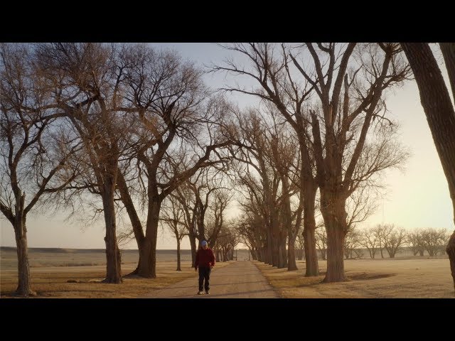
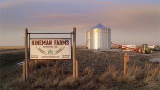
"Why I Conserve Playas"
Watch these videos to learn why agricultural producers and rural communities are restoring and preserving their playas.
You’ll hear from farmers, ranchers, and community members about the benefits they receive by enrolling their playas in conservation programs – from financial returns, hunting habitat, and groundwater recharge to preserving history and leaving a legacy for future generations.
WE CAN HELP
We can provide information and guidance on how to make playas work for you or your community and connect you with local partners and programs to help restore your playas.