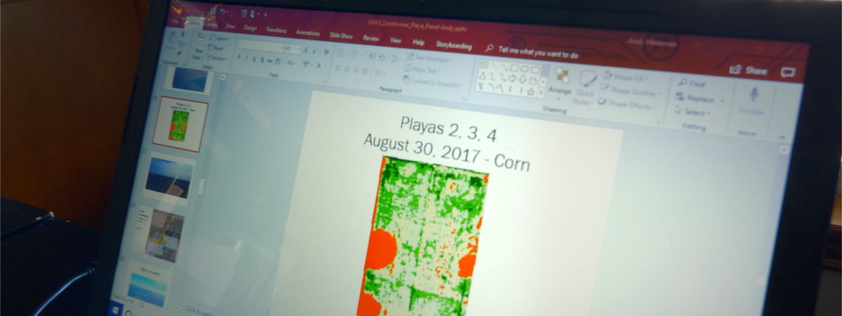
PLJV has developed a set of online resources and tools to help bring playas and their connection to the Ogallala aquifer to life for farmers, ranchers, resource managers, and others throughout the region — starting with outreach materials.
Interactive Playa Map and Dataset
Our interactive Playa Map, embedded below, is a platform for conservation planning. It allows you to explore the playa region and investigate playas, wind farms, and other features of the landscape. You can sort data by criteria you specify, upload your own shapefile to view a boundary on the map, and print what you see on the screen. Before you get started, watch a short tutorial video, which walks you through all the features and shows you how to use the tool. To explore all the features, open the Playa Map in a new browser window.
Current map data include playas, playa clusters, boundaries for select conservation programs, and a suite of layers relevant to wind energy development, including current wind turbine locations based on FAA data. Users can click on individual playas to get more information on playa size, playa condition, and the playa’s wetness frequency over time. We encourage user feedback and would like to hear stories of how you’re using playa data in your work, all of which will help us to continue adding and improving our playa tools. Please send us your comments.
You can download the probable playas dataset as a shapefile. The dataset is a regional compilation of several original data sources including the National Wetlands Inventory, Soil Survey Geographic database, and satellite imagery. These wetland data were analyzed for each state in the PLJV region — Colorado, Kansas, Nebraska, New Mexico, Oklahoma and Texas — to create the most comprehensive playa location map possible using remote sources. The playas layer contains locations of more than 70,000 playas across the PLJV region. For more information on how they were created, view the release notes, which include a detailed list of the data sources and methods used.
You can also download the playa clusters shapefile. Playa clusters represent groups of playas that likely provide increased benefits to wildlife as compared to playas that are more sparsely distributed. Research shows that clusters of playas are more frequently used by migrating waterfowl and shorebirds than sparsely distributed playas (Farmer and Parent 1996, Brennan 2006, Cariveau and Pavlacky 2008, Webb et al. 2010). Playa clusters were defined by identifying areas with either high playa density or high playa surface area, according to duck abundance data collected on playas.
Printable Playa Maps by County
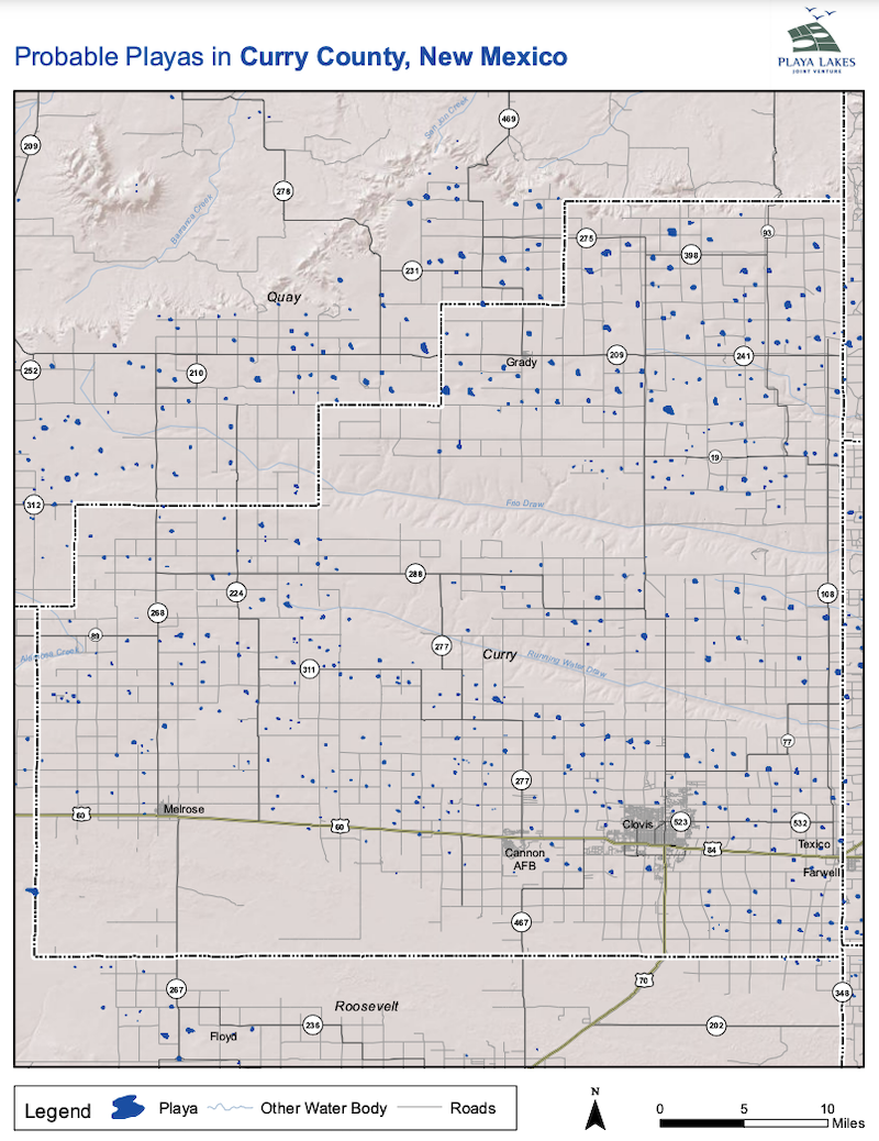
We’ve also created county-based maps of playa locations which can be downloaded as PDFs and easily shared or printed. Select the state and county you’d like to download. There is also an option to download all county maps for a state.
Playa Land Use Calculator
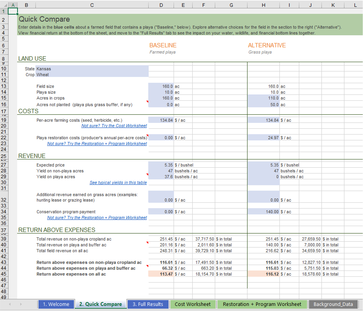
The Playa Land Use Calculator helps producers make decisions about how to manage playas in fields that are typically farmed and determine how USDA conservation programs such as the Environmental Quality Incentives Program, Wetland Reserve Easements, and Conservation Reserve Program can meet their operational objectives.
The calculator helps determine the amount needed to enroll your playa, instead of farming it, and estimate playa restoration costs. You can also find out how much water you could be sending back into your groundwater supply and other benefits of playa restoration, enter your own field details or use defaults to get a ballpark figure to help determine your bid amount, and compare good and bad years by adjusting crop prices, crop types, and how often crops are lost.
The calculator is available to download as a Microsoft Excel spreadsheet (version 1.2, updated Feb. 1, 2022). To learn how to use the calculator, watch the tutorial video.
Funding for the Playa Land Use Calculator was provided by USDA Natural Resources Conservation Service in Kansas and New Mexico.
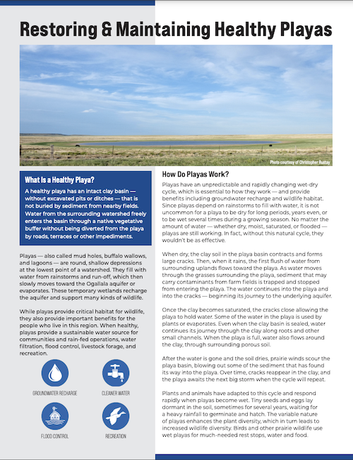
Playa Restoration Guide
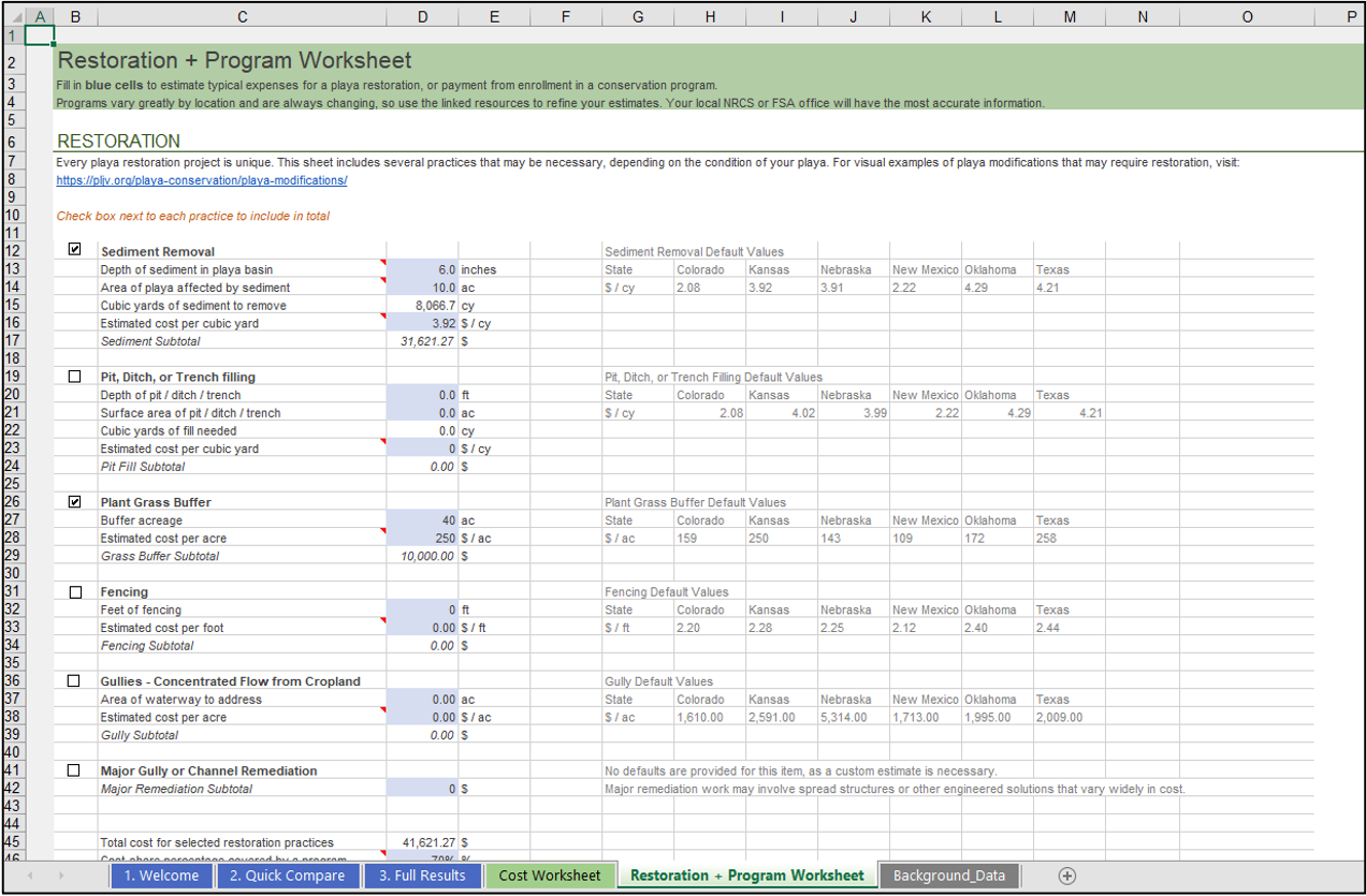
Once you’ve decided to restore your playa, what happens next? Playa restoration reverses past modifications to playas by removing accumulated sediment, filling drainage features, redirecting water back into the playa, and protecting the playa with a buffer composed of native vegetation.
View our Playa Restoration Guide to learn how to restore and maintain healthy playas and what to expect as you work with conservation delivery staff to plan and implement a playa restoration project, as well as how to get financial and technical assistance for your playa restoration project .
Playa Recharge and Wetness Estimators
The Playa Recharge and Wetness Estimators are built on a simple, interactive map platform, which allows anyone to explore the playa landscape, calculate an estimate of how much water recharges through playas on their land, and learn about past patterns of wetness for their playas in different seasons. The tool also includes answers to frequently asked questions and links to more information about playas and their role in recharging the aquifer.
Start using the Playa Recharge and Wetness Estimators by visiting PlayaEstimators.com. To learn how to use the tools, watch the Recharge Estimator tutorial and Wetness Estimator tutorial videos. To explore all the features, open the Playa Estimators in a new browser window.
Funding for the Playa Estimators was provided by USDA Natural Resources Conservation Service in Kansas and New Mexico and by High Plains Water District in Texas.

